
Another Arizona oxide gold district is about to get loud. CANEX Metals announced on October 20 that the Bureau of Land Management has accepted its exploration permit for the Gold Basin property in Mohave County, that a drill contract is signed, and that field crews start work next week — the opening moves of a drill campaign the company says will run around the clock.
- The BLM Kingman Field Office has accepted a notice-level exploration permit for Gold Basin, allowing up to 86 new drill pads plus exploration access and trenching on federal land.
- The permit runs 2 years and is extendable for a further 2 years. Together with CANEX's existing permit over the neighbouring Gold Range property, drilling is now permitted across the district's known 8-kilometre trend of mineralization.
- A reverse-circulation drill contract is signed. Pad construction starts in early November, and drilling — a minimum of 50 holes, operating 24 hours a day on two shifts — is scheduled to begin in the second half of November. CANEX says the program will likely be extended significantly, subject to performance.
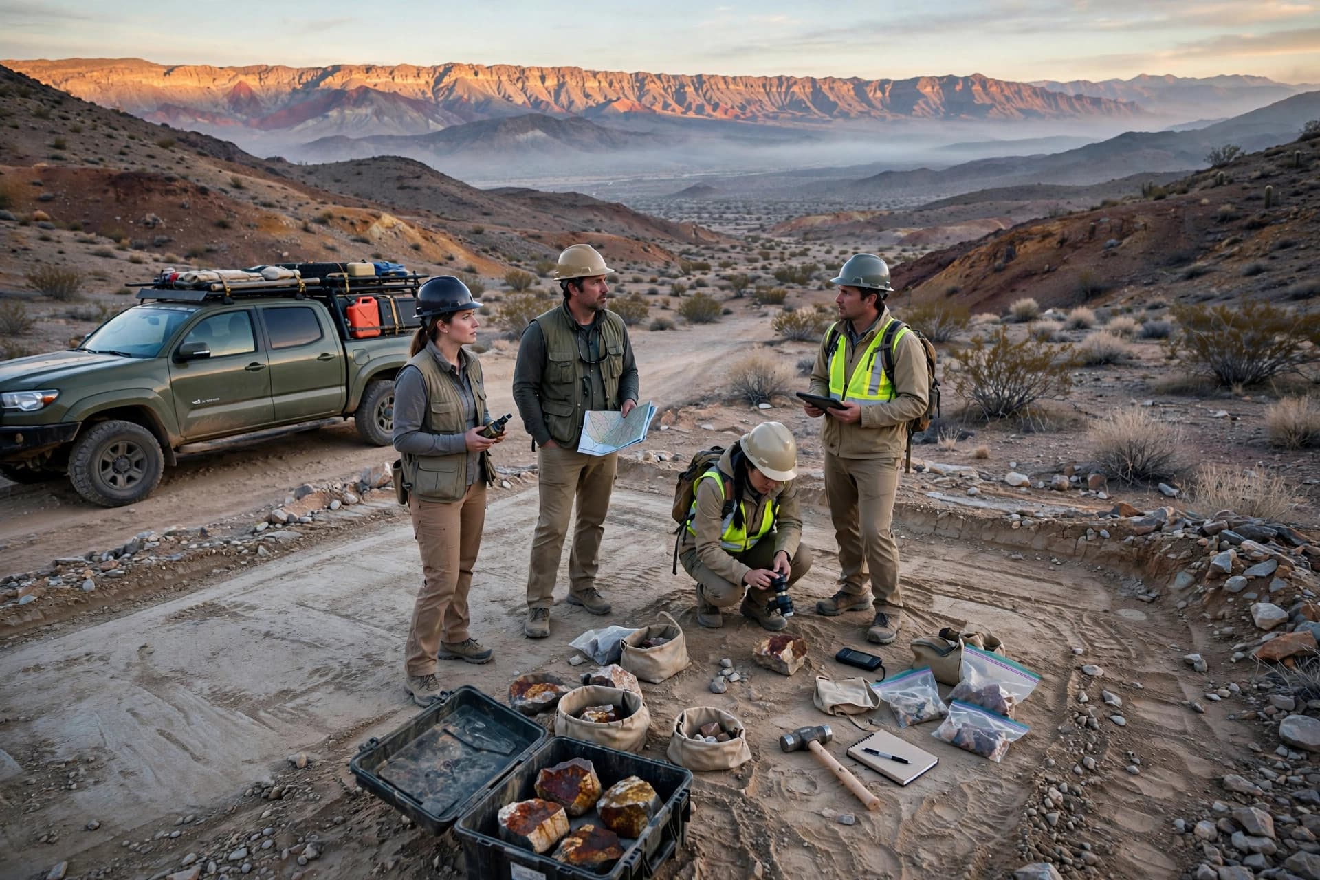
- Fieldwork at Gold Basin and Gold Range starts next week, focused first on documenting the controls on mineralization to set drill-hole orientations and prioritize sites.
- CANEX owns 100% of Gold Basin Resources Corporation and is advancing the contiguous Gold Basin and Gold Range properties, which host numerous drill-defined gold deposits up to 1.7 kilometres long and have seen more than 950 historic and current drill holes.
A consolidated district, drilled in phases
Gold Basin is not a grassroots staking story. The district has been drilled for decades, but ownership was fragmented; CANEX's consolidation — acquiring Gold Basin Resources, closing a recent $9.5 million financing the company describes as leaving it fully funded for sustained exploration, and now holding permits across both properties — sets up the first district-scale campaign under one operator. Drilling will work both sides of the problem: defining and extending the known mineralized zones, and testing new targets along the 8-kilometre trend.
That sequencing is visible in the schedule. The geology team goes in first, before a single pad is cut, to pin down what controls the mineralization — the step that decides whether drill holes are angled to cut the zones properly or wasted crossing them at the wrong orientation.
The honesty box
This is an exploration permit, not a mine permit: a notice-level BLM authorization for drilling, trenching and access work. It approves no mining, and no production decision exists for Gold Basin. The "fully funded" characterization and the $9.5 million financing figure are the company's own statements in this release. The deposits referenced are drill-defined zones from more than 950 historic and current holes; historic drilling carries the usual verification caveats, and the release announces a program — no new drill results are reported in it.
What to watch
Pad construction in early November and the first RC holes in the second half of the month. With a 24-hour drill turning, the first assay batches from the known zones will be the earliest test of whether the consolidated district model holds.